
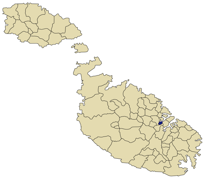
About Pieta
The two distinct localities of Pietà-Guardamangia that today form one single district have different geographical formations. Pietà developed at the lower end of a deep valley, formerly known as ‘Wied il-Qasab’, literally meaning the Valley of Reeds. This natural dale is situated at the far inner part of Marsamxetto Harbour. Guardamangia, on the other hand, grew over a promontory, formerly known as ‘Il-Qortin’ (meaning, precisely, headland) that overlooked the valley on the left. This cape is around sixty metres above sea level. The first to be developed was the lower part of the locality around the late 16th century, whereas the higher part developed from the mid-20th century onwards. Geographically, the most drastic changes occurred at the valley. The shoreline, for instance, was much deeper than it is today, and consisted of a sand beach. This was filled over during and after World War II.
Pietà-Guardamangia is made up of two distinct localities that by time came to form one single district. The lower part, called Pietà, began its development almost immediately after the Great Siege of 1565. During that momentous event, the Ottomans pitched one of their greatest encampments here, bringing about a tremendous environmental change. After their departure the place was left utterly devastated. However, documentary evidence shows that people began to settle at Pietà as early as 1570. This was mainly due to the building of Valletta, which is very close by in the south-west. Shortly afterwards, during the plague of 1592-94, a large cemetery was built at Pietà, and this began to contribute to its urbanisation and population growth.
So much so that in 1612 a chapel and a rectory were built dedicated to Our Lady of Sorrows (‘La Pietà’ in Italian) from which the locality took its name. This was entrusted to the Augustinian monks, who stayed there until 1652. But another outbreak of the plague disrupted life in the surroundings until 1714. After that, people began to return to build their homes there and enjoy the serene atmosphere of the place. Beautiful houses were erected, and spacious gardens constructed. Pietà was half-way between Valletta and Floriana, and the Sliema area, and this gave it much prominence as an idyllic place of commutation and a preferred place of residence. Such development created the need to upgrade, between 1721 and 1740, the Pietà chapel into a vice-parish of St Paul’s Shipwreck church in Valletta. Thereafter, the urbanisation of the locality continued its expansion.
A cholera cemetery was built in 1865, and also a military one in 1915 during World War I. Then, in the late 1920s a drastic change had to occur that directly contributed to the development of the upper part of the locality, popularly called Guardamangia due to one of the many villas present. As it happened, the promontory overlooking Pietà was chosen by the British government as a site on which Malta’s general hospital had to be built. This took the name of St Luke’s Hospital, and was constructed between 1930 and 1937.
The infrastructure related to the building and running of the hospital directly contributed to the rapid urbanisation of the whole area, and the population began to swell, joining as one town the Pietà village and the Guardamangia settlement. This was further enhanced by the advent of the Dominican friars in 1945, who later, between 1953 and 1954, erected a large modern church for the pastoral needs of the surrounding inhabitants. This church was instituted as a parish in 1968, and thereby the confines of Pietà-Guardamangia were officially recognized. In 1994, these same boundaries came under the formal jurisdiction of the newly-founded local council.